The landscape of wearable technology has undergone a seismic shift as we move through 2026. What used to be a simple tool for tracking heart rate and exercise has evolved into a sophisticated, AI-driven health and navigation hub.
Today, for the field of outdoor adventure, GPS watches are no longer just “digital breadcrumbs” worn on the wrist. Whether you are navigating a dense urban marathon or exploring a remote mountain trail, the precision of your GPS watch is now the most critical tool in your kit.
In this comprehensive guide, we will explore the cutting-edge trends of 2026, the must-have features, and the top models you should consider.
The Core Evolution: From Simple Receivers to Intelligent Navigators
For decades, GPS watches functioned by simply “listening” to satellites. If you stood under a tree or between tall buildings, the signal would bounce, creating the dreaded “GPS drift”—where your map shows you running through solid walls or across rivers you never touched.
In 2026, three major technological leaps have effectively solved these legacy issues.
Dual-Frequency (L1 + L5) GNSS
While high-end watches began adopting dual-band technology a few years ago, it is now the mandatory standard. By receiving signals on two different frequencies ($L1$ and $L5$), modern watches can distinguish between a direct satellite signal and one that has reflected off a skyscraper. This provides sub-meter accuracy even in the densest “urban canyons.”
The Multi-Constellation Surge
We no longer rely solely on the American GPS. 2026 watches simultaneously tap into:
- Galileo (Europe)
- GLONASS (Russia)
- BeiDou (China)
- QZSS (Japan)
This “Multi-GNSS” approach ensures that even if one system has a blind spot, another is providing a lock.
Built-in Mapping Autonomy
High-resolution, offline topographic maps are now standard. Watches can now store gigabytes of terrain data locally, allowing for turn-by-turn navigation without a phone or cellular connection.
The AI Frontier: How Artificial Intelligence is Transforming GPS
The most significant breakthrough in 2026 isn’t just better satellites; it is how watches process the signals they receive. AI is no longer just for generating workout summaries; it is actively improving the accuracy of the GPS itself. Several industry leaders and map providers have begun utilizing AI to bridge the gap between “raw data” and “useful information.”
Predictive Pathing & Signal Reconstruction
One of the oldest problems with GPS is the “canyon effect”—where tall buildings or rock faces bounce satellite signals, creating “jittery” data.
Companies like Bosch and Garmin are now deploying AI sensors that “fill the gaps” by analyzing your historical movement patterns and environmental data. If you run through a tunnel or under heavy tree cover, the AI predicts your most likely path with 99% accuracy, ensuring your distance metrics remain flawless even when the signal is physically blocked.
This is no longer simple estimation; it’s a learned behavior model tailored to your specific body mechanics.
AI Signal Optimization
Search giants and map providers (such as Google Maps and Mapbox) are using AI to model “shadow zones” in cities. When your watch knows it is in a specific city grid, AI algorithms proactively adjust how the antenna searches for signals, significantly reducing battery drain by ignoring blocked satellites.
Edge Computing in Wearables
We are seeing a move toward Edge AI—processing data directly on the watch rather than sending it to a phone or the cloud. This allows for real-time adjustments to your route. For instance, if the watch detects a sudden drop in your pace paired with a specific barometric pressure shift, it can autonomously suggest a “safety route” back to your starting point before a storm hits.
The Mirroring of Enterprise Tech
The tech we see in watches today often starts in larger industries. Companies like Google Maps and Trackhawk have been using AI to predict traffic and road hazards for years. In 2026, this “predictive math” has finally been miniaturized for the wrist, allowing smartwatches to anticipate trail closures or terrain changes based on crowdsourced satellite imagery and real-time environmental reports.
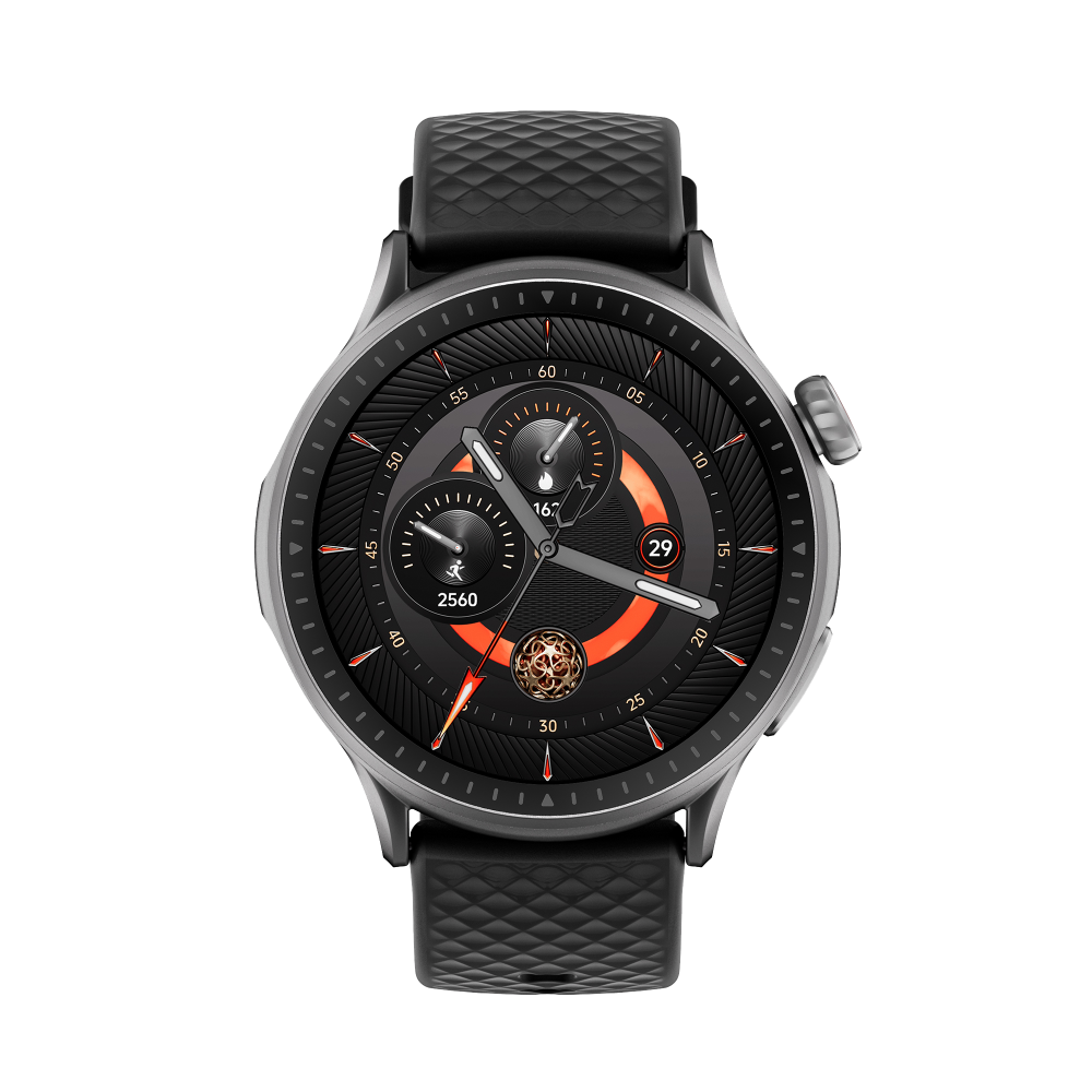
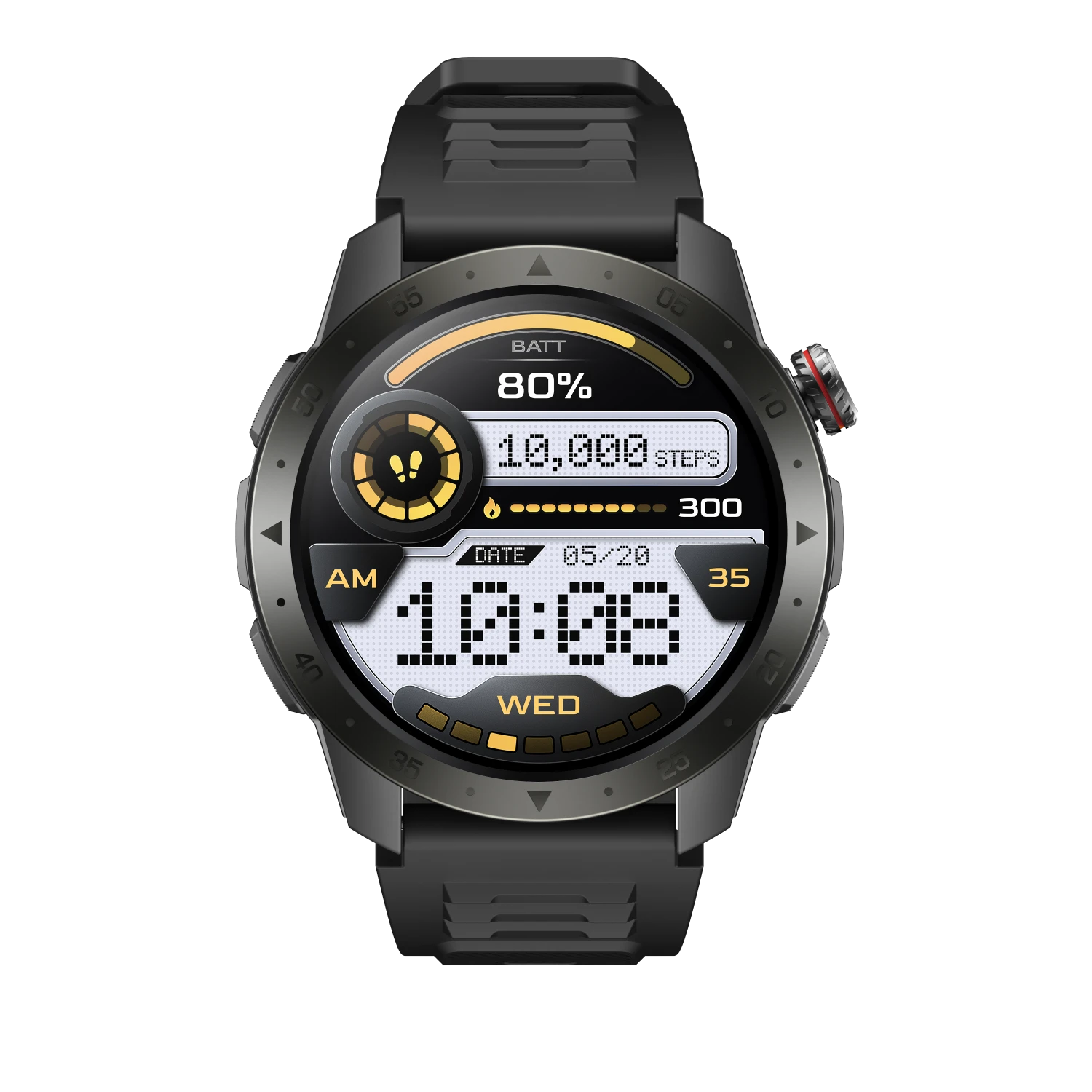
Highlighting the 2026 Standouts
When selecting a GPS watch this year, you need to decide if you want a “high-performance computer” or a “dedicated outdoor tool.”
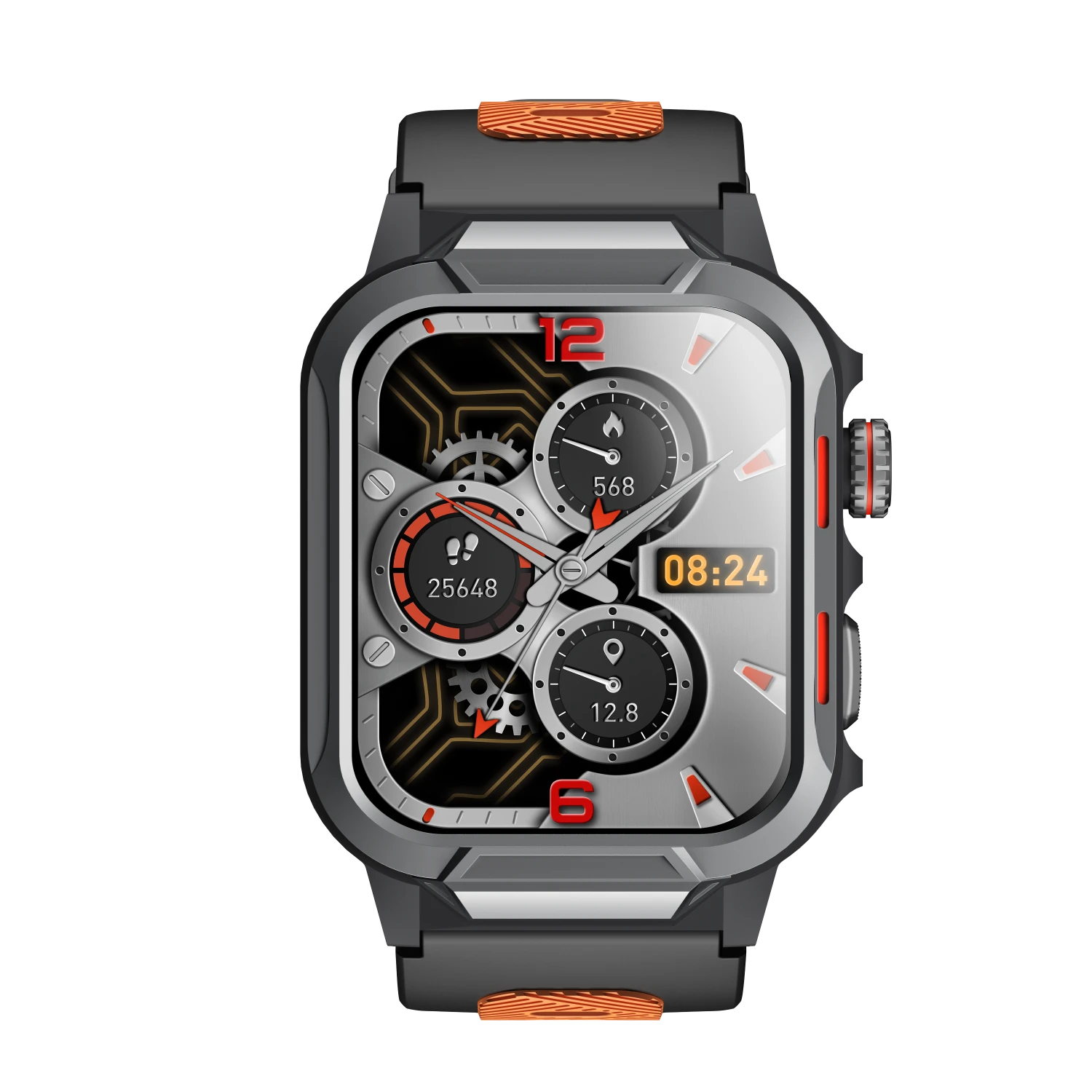
Runmefit GTX2
For those who need professional-grade GPS tools without the $800 price tag, the Runmefit GTX2 has become a notable disruptor.
- GPS Accuracy: The GTX2 uses a high-sensitivity GPS module designed for rapid satellite locking, which is essential when you’re starting a hike in remote areas.
- Integrated Sensing: It doesn’t just rely on satellites; it combines GPS data with a built-in Barometer, Altimeter, and Compass. This creates a “triple-check” system for your location and altitude, a feature often missing in more expensive, “lifestyle” smartwatches.
- Durability: With its 3ATM waterproof rating and zinc alloy frame, it is built for the physical reality of the outdoors, not just the aesthetic.
Garmin Enduro Series
For those running 100-mile races, the Enduro series uses AI to manage power consumption. It intelligently switches between GPS modes based on signal strength, ensuring you get the 300+ hours of battery life needed for multi-day expeditions.
Apple Watch Ultra 3
Apple continues to push the “Lifestyle GPS” boundary. Their latest models use machine learning to recognize your most-run routes, automatically improving the map accuracy of those paths over time through a process called “Map Matching.”
Perspective: Will AI Take Over the Entire Watch?
The consensus in 2026 is that AI will move from the “cloud” to the “edge” (the watch itself). We are seeing the first iterations of contextual navigation. Imagine a watch that doesn’t just show a map, but uses AI to analyze your fatigue levels and current weather data to proactively suggest a flatter, safer route back to your starting point.
FAQ
1. Is AI-assisted GPS really more accurate than standard GPS?
2. Does the Runmefit GTX2 require a phone to work?
3. Why is the Altimeter/Barometer important if I have GPS?
A physical Barometric Altimeter, like the one in the GTX2, uses air pressure to determine your height much more accurately than a satellite can.